Better Map Composer in QGIS ver 1.9
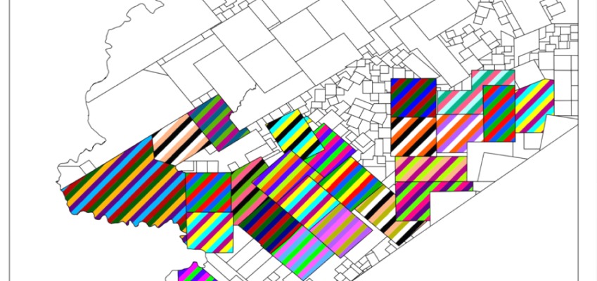
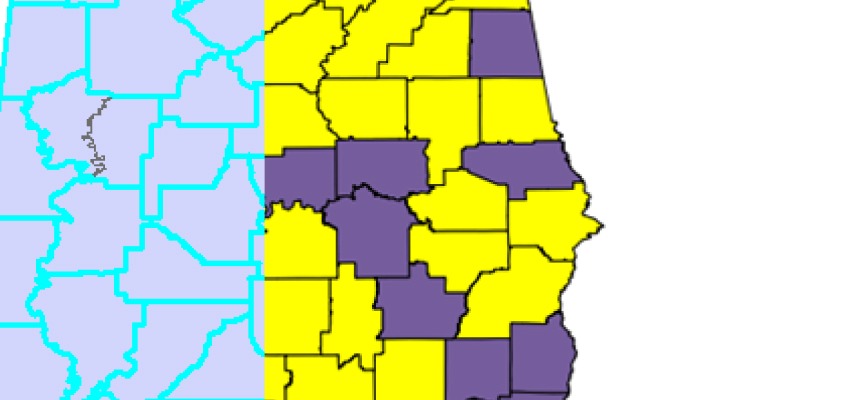
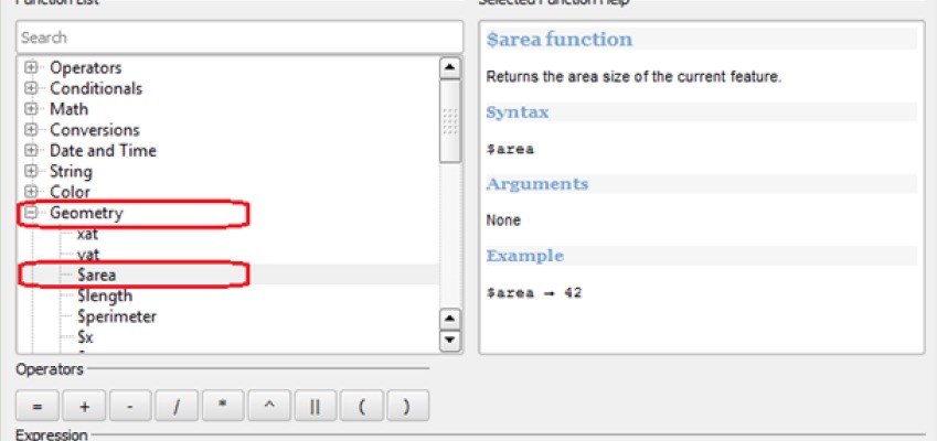
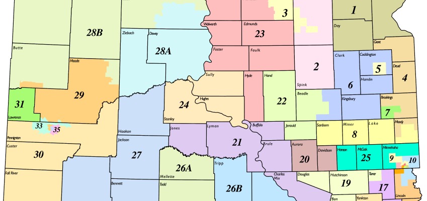
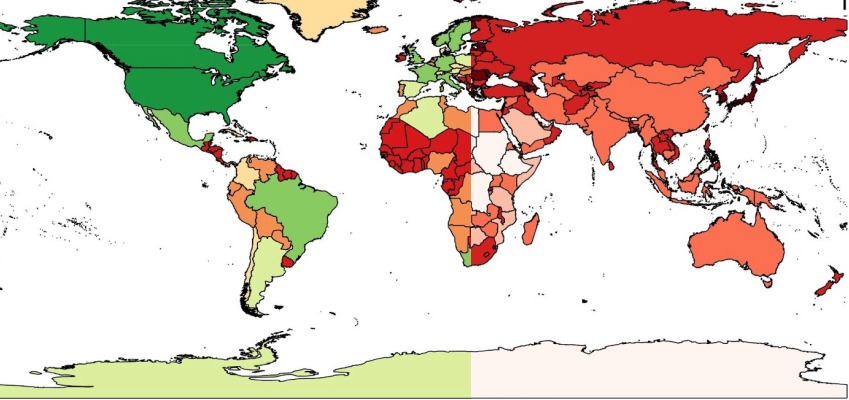
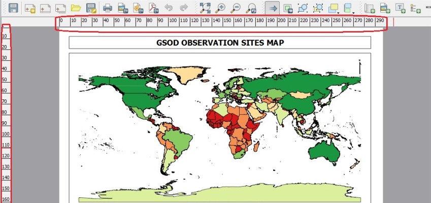
What’s new 1. Easier to compose maps at any size ( Large posters are easier to make now ) 2. Able to control the legend ( multi-columns ) We...
In this post we will discuss how to paint polygons with symbols which represent more than one attribute. We will be stepping through the following steps. Make Custom symbols...
In this post we discuss the following topics Displaying vectors using its X/Y components Computing magnitude and direction using GRASS Using advanced symbology in QGIS Introduction Meteorological conditions of...
PostGIS is a spatial database. Most GIS users are comfortable with their desktop software. In the proprietary world, very few people have access to a spatial DB due to...
QGIS is one of the powerful open source GIS software. As part of kCube’s Open intiative we will be doing a series of screencast on various Open Source GIS...
The Shapefile which is normally available for download in most of the websites display locations (coordinates) in Latitude and Longitude, so these have to be reprojected to find the...
Most of the shapefiles which are created contains a specific coordinate reference system which may be rectangular,geographic or projected coordinate system.The main reason to reproject any GIS data is...
Introduction Weather information is relevant in many application areas. There are many sources of weather data starting with the daily news. In this article, we describe a process to...
Digitizing features is one of the most basic tasks in GIS. In most instances, vector features are captured from a base data which can be a geo-referenced map or...
While introducing PostGIS the most important hurdle is grasp the fact that there are no files to handle. Losing that control scares users. So in this blog about PostGIS,...