Mapping interface to MS Office
- Home
- Case Study
- Mapping interface to MS Office
SnapShots

Mapping interface to MS Office
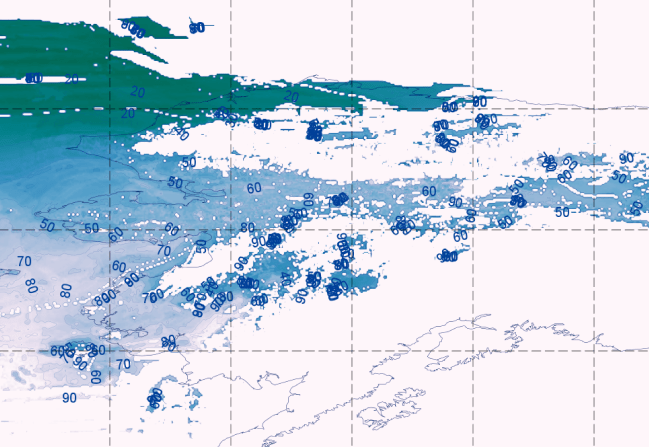
kCube developed translation tools to help executives comfortable with MS Excel to use Google Maps for display and interpretation of results. Open Source Library GDAL and OGR were used to link excel tables with Google Earth data. The results of the modeling process are updated to produce a mapping file which can be used seamlessly without the need to share proprietary process used in the modeling process.
kCube design allowed integration of proprietary process into an open source framework which can be extended further as per client requirements.
Client
Theresa Dasilva
Project Value
$679
Date
June 14, 2022
Category
XD Design