Introduction to GIS and Remote Sensing
- Home
- Introduction to GIS and Remote Sensing

4.0
★
★
★
★
★
Prerequiste : None
Course Duration : 16 Hours
Remote Sensing
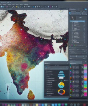
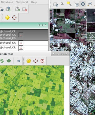
Geographic Information System, or GIS, is a technology that allows for the capture, storage, analysis, and visualization of spatial or geographic data. It combines hardware, software, and data to organize and understand the relationships between various locations on the Earth’s surface. Key components of GIS include:What you’ll learn
- Understand the basics of GIS and the various components of GIS
- Interpret various GIS data models
- About Projection System
- Understand the application areas of GIS
- Understand the basics of Remote Sensing, Digital Photogrammetry, Lidar
Course Content
- What is GIS ?
- About Maps
- About Projection System
- Data representation in GIS
- Functions of GIS
- Applications of GIS
- Principles of Remote Sensing
- Global Positioning System
- Digital Photogrammetry
- Lidar


