PostGIS: Next Step in GIS
PostGIS is a spatial database. Most GIS users are comfortable with their desktop software. In the proprietary world, very few people have access to a spatial DB due to its cost implications. Hence, they formulate their solutions based on the desktop based tools available to them. Some of the analysts use scripting to alleviate their repetitive tasks but this group of users who can script is a small proportion of all the GIS users.
Spatial DB functions allow even the base users to access advanced functionality without much code. They need to know about SQL ( Structured Query Language ) to extract information from their data.
ArcMAP, QGIS and other desktop GIS have a GUI which makes it easy to query the data using SQL without actually knowing SQL. Keywords like “WHERE” “LIKE” “SELECT” are accessible through a GUI . These work well for simple queries but the users outgrow its functionalities very fast. SQL is not limited to any specific software hence a little SQL knowledge goes a long way.
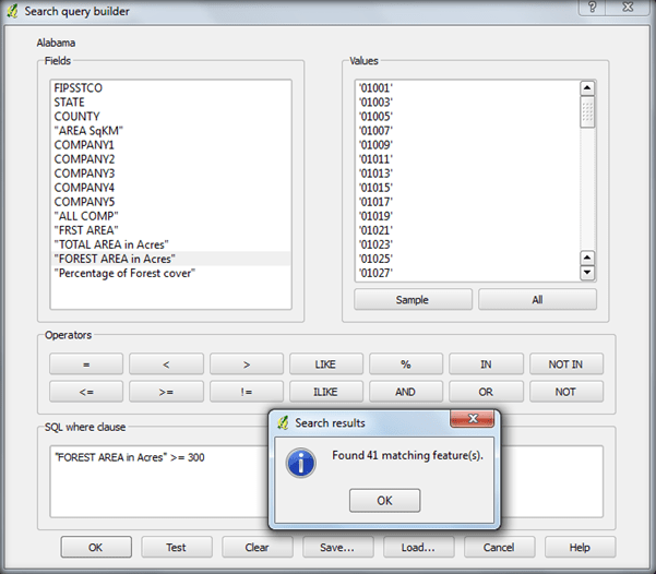
Fig 1: Screenshot of Querying in QGIS 1.8
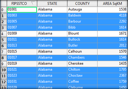
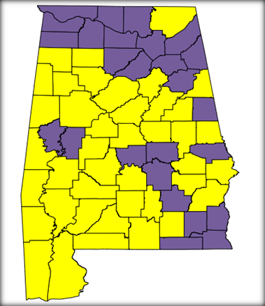
Fig 2: Screenshot of selected counties from the query in QGIS 1.8
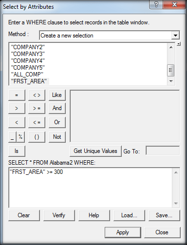
Fig 3: Screenshot of Querying in ArcMap 9.3
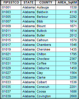
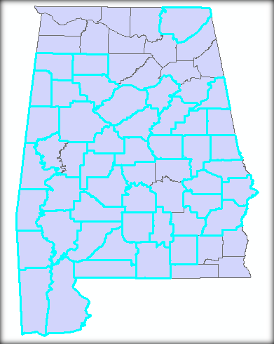
Fig 4: Screenshot of selected counties from the query in ArcMap 9.3
So when we are selecting all the counties which have more than 300 Acres of forest area from the GUI, we are actually creating a SQL statement to get the list of counties which satisfy our given condition.
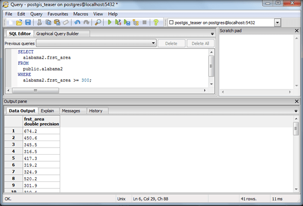
Fig 5: Output from PostGIS
We will follow up this article by documenting the problems faced by a first time user of PostGIS. While troubleshooting we have to step into the shoes of the actual user to accurately understand and then solve the problem.